
Montgomery County seat on Sugar Creek
Barndominium Builders in Crawfordsville, IN
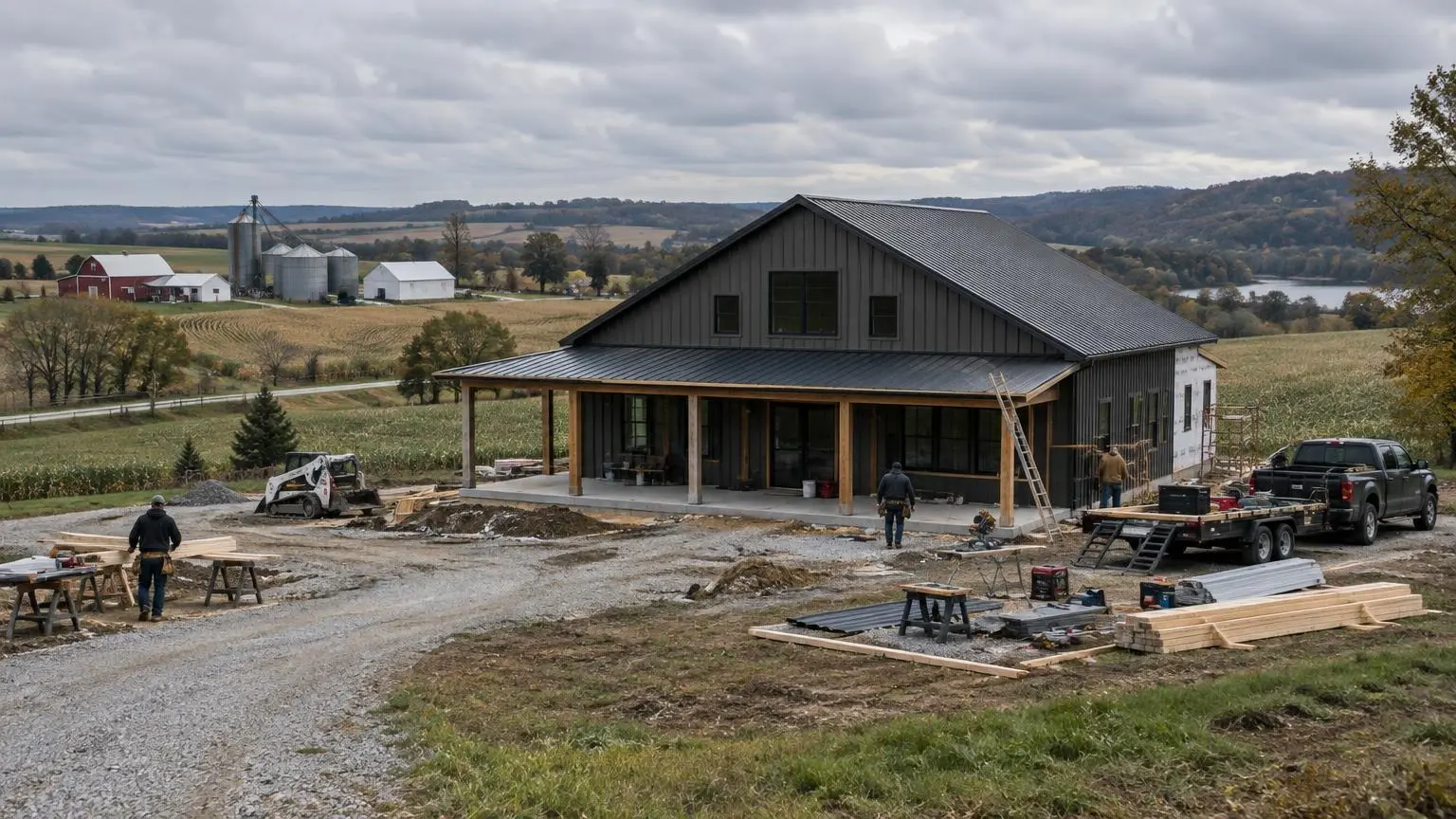
Rolling farm ground, wooded creek canyons and a long drive to anything crowded. Good country for a shop with a house attached.
- Site visit before any pricing
- Written, line-item estimates
- County code and septic research included
Questions Crawfordsville Landowners Ask Before They Build
Barndominium builders in Crawfordsville start with a simple fact about the place: there is a lot of open land and not much city. Crawfordsville is the county seat of Montgomery County and the only chartered city in it, with 16,306 residents at the 2020 census, up a little from 15,915 in 2010. The county as a whole covers about 505 square miles and held 37,936 people in 2020. Wikipedia describes the terrain as low rolling hills used mostly for agriculture. That mix of cheap-to-clear farm ground and wooded draws is exactly where a barndo makes sense: a big clear-span shell, a shop bay for equipment, and living space finished out on one end.
Rather than walk through a generic checklist, this page answers the questions that matter most when building around Crawfordsville, Waveland, Ladoga, Linden, Darlington and New Ross.
How far is Crawfordsville from Indianapolis, and does that matter?
The city sits about 49 miles west-northwest of Indianapolis. Interstate 74 connects it to Indianapolis and to Danville, Illinois, US 231 runs north to Lafayette and south to Greencastle, and US 136, State Road 32 and State Road 47 fan out to the smaller towns. For a barndominium owner that distance matters two ways. First, you are far enough out that land is still sold in farm-sized pieces rather than subdivision lots. Second, trucks carrying steel, trusses, concrete and spray foam can reach most of the county on state and US routes, so access is usually a driveway question rather than a highway question.
What does Sugar Creek mean for my building site?
Crawfordsville sits on Sugar Creek, a southern tributary of the Wabash that runs about 93 miles from a farm field near Kempton to the Wabash north of Montezuma. Inside Montgomery County it cuts west-southwest through the middle of the county, and downstream it passes through Shades and Turkey Run state parks. The creek and its tributaries are known for canyons and small waterfalls in rocky terrain. That scenery is a draw, but it also means some wooded parcels near the creek have steep ravine edges. We look at three things on those lots:
- Distance from the top of any ravine or creek bank to the planned footprint
- Whether the pad can be built on undisturbed ground rather than fill
- Where roof water from a large metal roof will go, so it doesn't start cutting a new gully toward the creek
If part of a parcel lies in a mapped flood hazard area, Indiana's residential code points to section R322, which sets the design flood elevation at the base flood elevation plus two feet.
How deep do footings go in Montgomery County?
The county table in the 2020 Indiana Residential Code lists Montgomery County at a 30-inch minimum depth from finished grade to the bottom of the footing. That is deeper than the 24 inches listed for Vigo County to the southwest. The same table gives a 20 psf ground snow load, a 115 mph design wind speed, seismic design category B and a 2 F winter design temperature. On a post-frame barndominium the 30-inch figure governs post embedment and footing pads; on a steel building it governs the frost-protected perimeter of the slab. Wikipedia's county climate table backs up the need for it: Crawfordsville's record low is -31 F, set in January 1994, and the average January low is 14 F.
Is tornado risk real here?
The National Weather Service office in Indianapolis lists 27 tornadoes in Montgomery County from 1950 through 2025. The worst was an F4 on April 11, 1965, which killed two people and injured 13. An F3 on June 2, 1980 killed one person and injured 16, and another F3 struck on November 22, 1992. Across all 27, the county recorded 6 deaths and 49 injuries. For a tall, wide metal building sitting in an open field, that history argues for careful uplift design: continuous load paths from roof purlins to wall girts to the foundation, anchors sized for the actual site exposure, and doors rated for the wind. The code says wind exposure is decided site by site, and few sites are more exposed than a cleared hilltop in farm country.
Who handles septic on a Montgomery County parcel?
Many barndominium sites outside Crawfordsville are septic sites. Indiana's onsite sewage program, under rule 410 IAC 6-8.3, runs through local health departments, which statewide issue more than 15,000 permits a year for new systems. The state's directory lists the Montgomery County Health Department in Crawfordsville as the local office. Where a sanitary sewer is reasonably available, the state program prohibits a new onsite system and requires connection, so a lot right at the city's edge may need to tie in instead. Out in the county, a soil evaluation decides the type and size of system, which in turn decides where the house end of the building can sit.
What soils should I expect?
The county is glaciated till-plain country. One well-drained series common across central and south-central Indiana is Russell, which the USDA describes as loess over loamy till on Wisconsinan till plains, with its type location in Putnam County, Indiana. Wetter flats in the same region often carry somewhat poorly drained soils with a perched water table in winter and spring. A soil test on your parcel, not a regional map, settles which you have.
Where is the high ground?
The county's highest point is about 930 feet, on the southeast county line below New Ross. Elevation in Crawfordsville itself is about 758 feet. Higher, flatter ridges between creek valleys often make easier pads, with good natural drainage and room for a long shop.
Have land near Crawfordsville or anywhere in Montgomery County? Call (317) 893-3806 or
and tell us the parcel location and how much shop you want.Montgomery County Building Notes
- Footing depth. The 2020 Indiana Residential Code lists Montgomery County at a 30-inch minimum footing depth, 20 psf ground snow load and 115 mph design wind.
- Tornado record. 27 tornadoes in Montgomery County from 1950 through 2025 (NWS), including an F4 on April 11, 1965.
- Sugar Creek. About 93 miles long, it runs through Crawfordsville and on through Shades and Turkey Run state parks before joining the Wabash.
- Cold record. Crawfordsville's record low is -31 F, set in January 1994.
- Septic office. The Montgomery County Health Department in Crawfordsville is the local health department listed by the Indiana Department of Health.
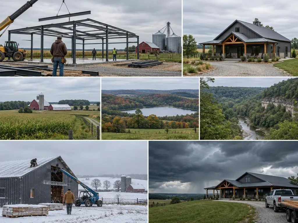
Our Services in Crawfordsville, IN
Crawfordsville Questions
Can I build on a wooded lot near Sugar Creek?
Often, yes. We keep the footprint back from ravine edges and creek banks, check the flood map, and plan roof drainage so it doesn't erode the slope.
Is 30 inches really the footing depth in Montgomery County?
That is the minimum the 2020 Indiana Residential Code lists for the county, measured from finished grade to the bottom of the footing. Engineered designs can go deeper.
Do you build near Waveland, Ladoga and Linden too?
Yes. We work across Montgomery County and the neighboring counties. Send us the parcel location and we'll confirm.
What happens if sewer is close to my lot?
Indiana's onsite program prohibits a new septic system where a sanitary sewer is reasonably available, so we check sewer access before planning a septic field.
Free Estimates in Crawfordsville, IN
Talk to us about your Montgomery County land.
Barndominium Builders Near Crawfordsville
- Barndominium Builders in Indianapolis, IN
- Barndominium Builders in Noblesville, IN
- Barndominium Builders in Westfield, IN
- Barndominium Builders in Greenwood, IN
- Barndominium Builders in Franklin, IN
- Barndominium Builders in Martinsville, IN
- Barndominium Builders in Bloomington, IN
- Barndominium Builders in Columbus, IN
- Barndominium Builders in Seymour, IN
- Barndominium Builders in Shelbyville, IN
- Barndominium Builders in Greenfield, IN
- Barndominium Builders in Anderson, IN
- Barndominium Builders in Muncie, IN
- Barndominium Builders in Richmond, IN
- Barndominium Builders in Kokomo, IN
- Barndominium Builders in Lafayette, IN
- Barndominium Builders in Terre Haute, IN
- Barndominium Builders in Vincennes, IN
- Barndominium Builders in Evansville, IN
- Barndominium Builders in Jasper, IN
- Barndominium Builders in New Albany, IN
- Barndominium Builders in Fort Wayne, IN
- Barndominium Builders in Auburn, IN
- Barndominium Builders in Warsaw, IN
- Barndominium Builders in Goshen, IN
- Barndominium Builders in Elkhart, IN
- Barndominium Builders in South Bend, IN
- Barndominium Builders in Plymouth, IN
- Barndominium Builders in Valparaiso, IN